Correspondence 1
︎
Youfang Duan


Alexandra Hall


Linnea Laux


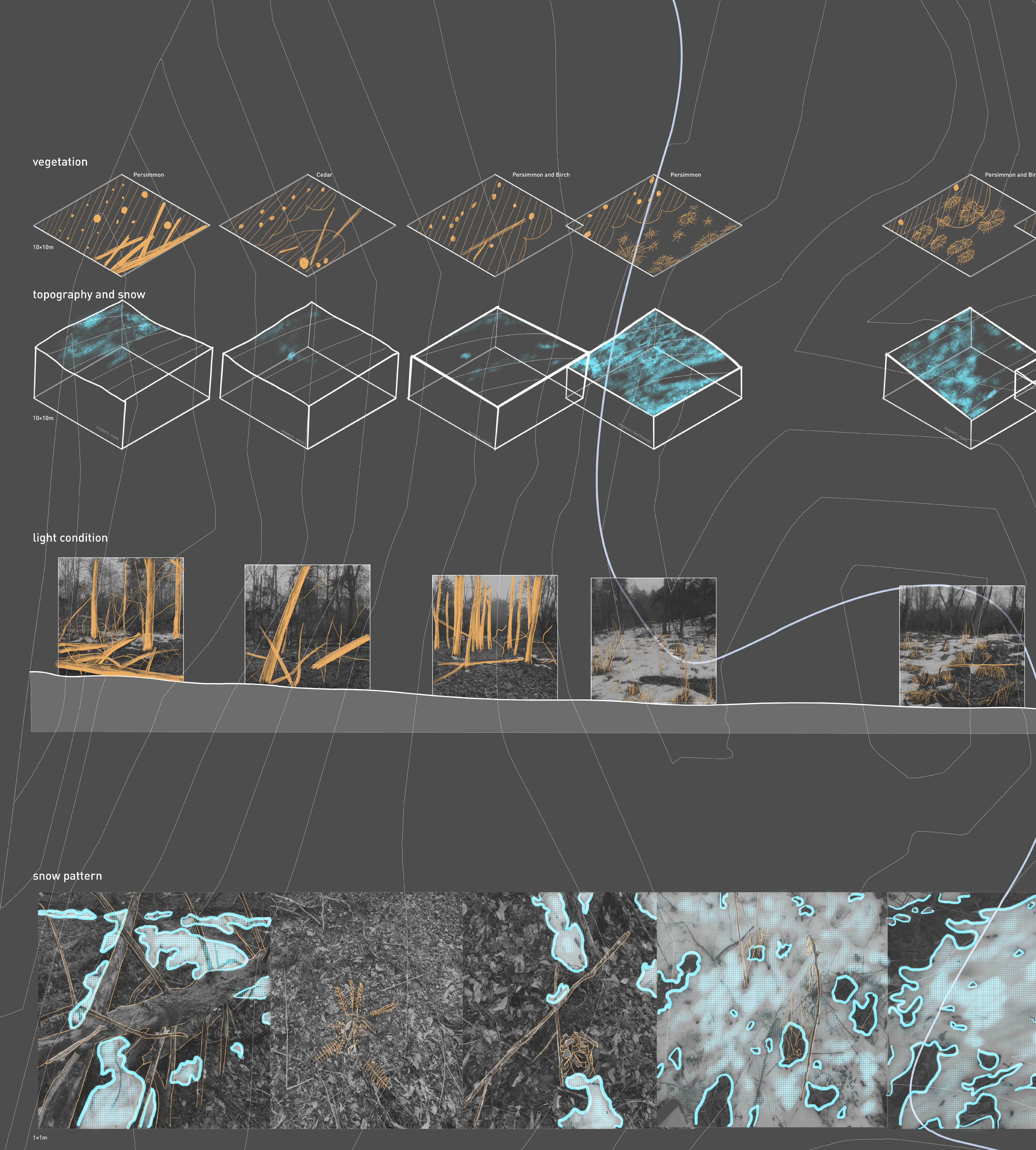
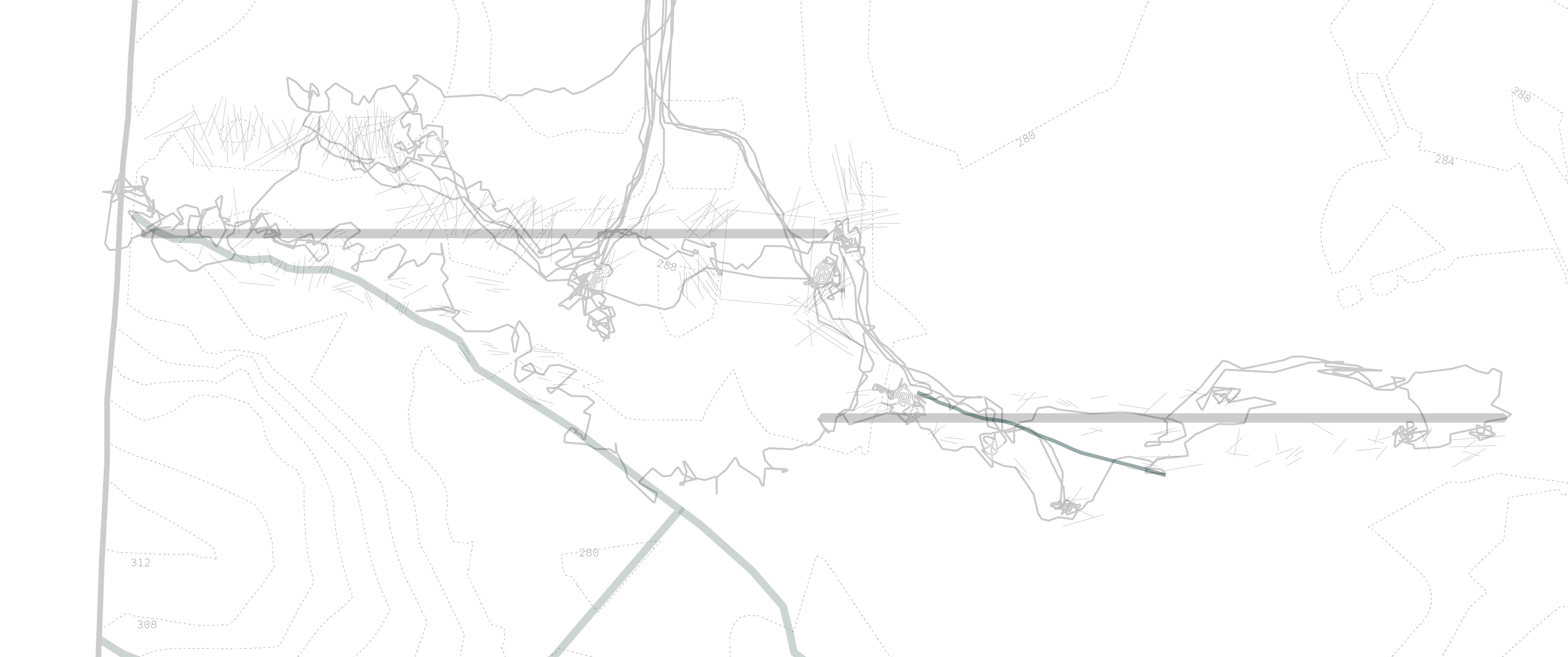
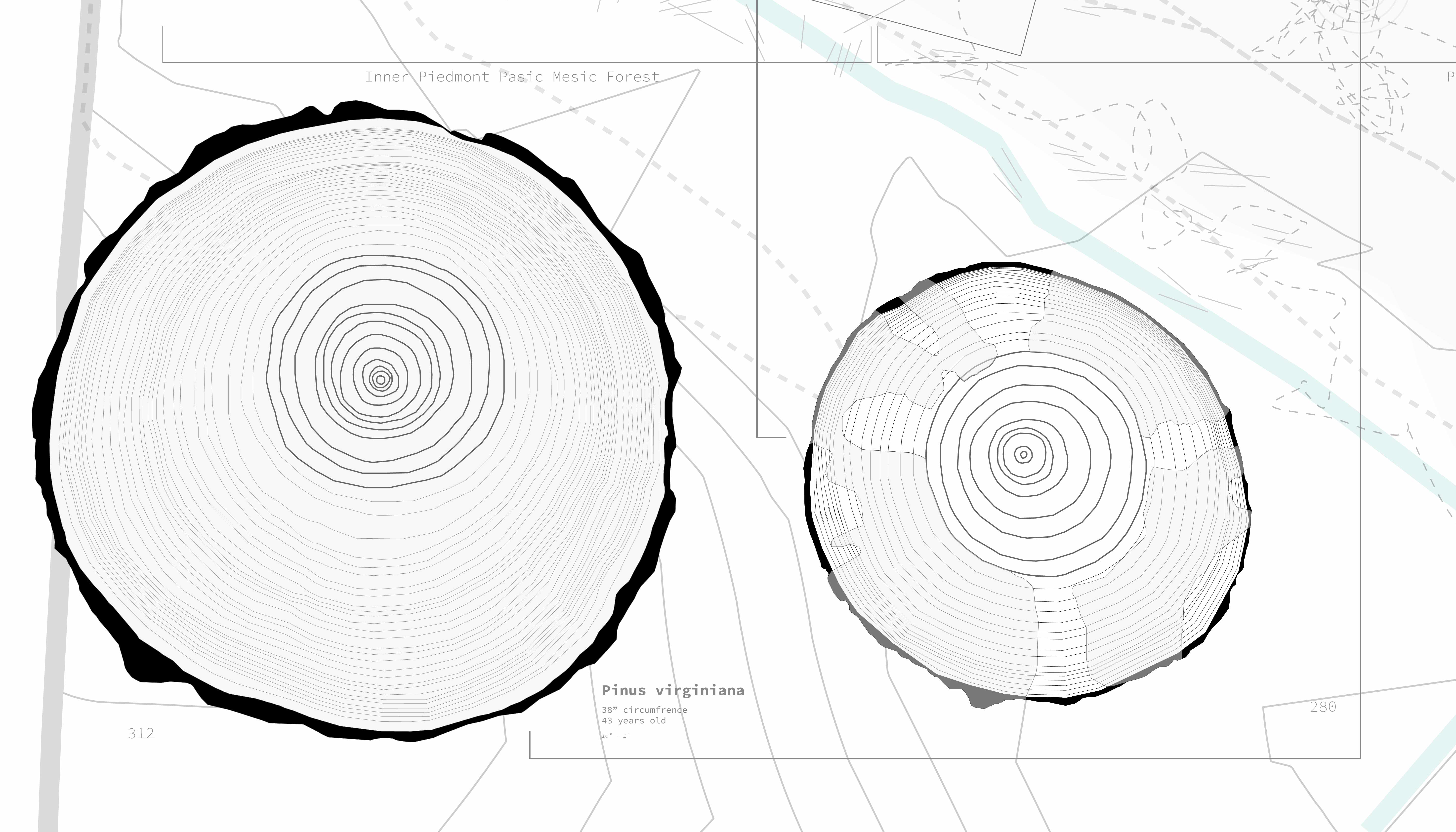
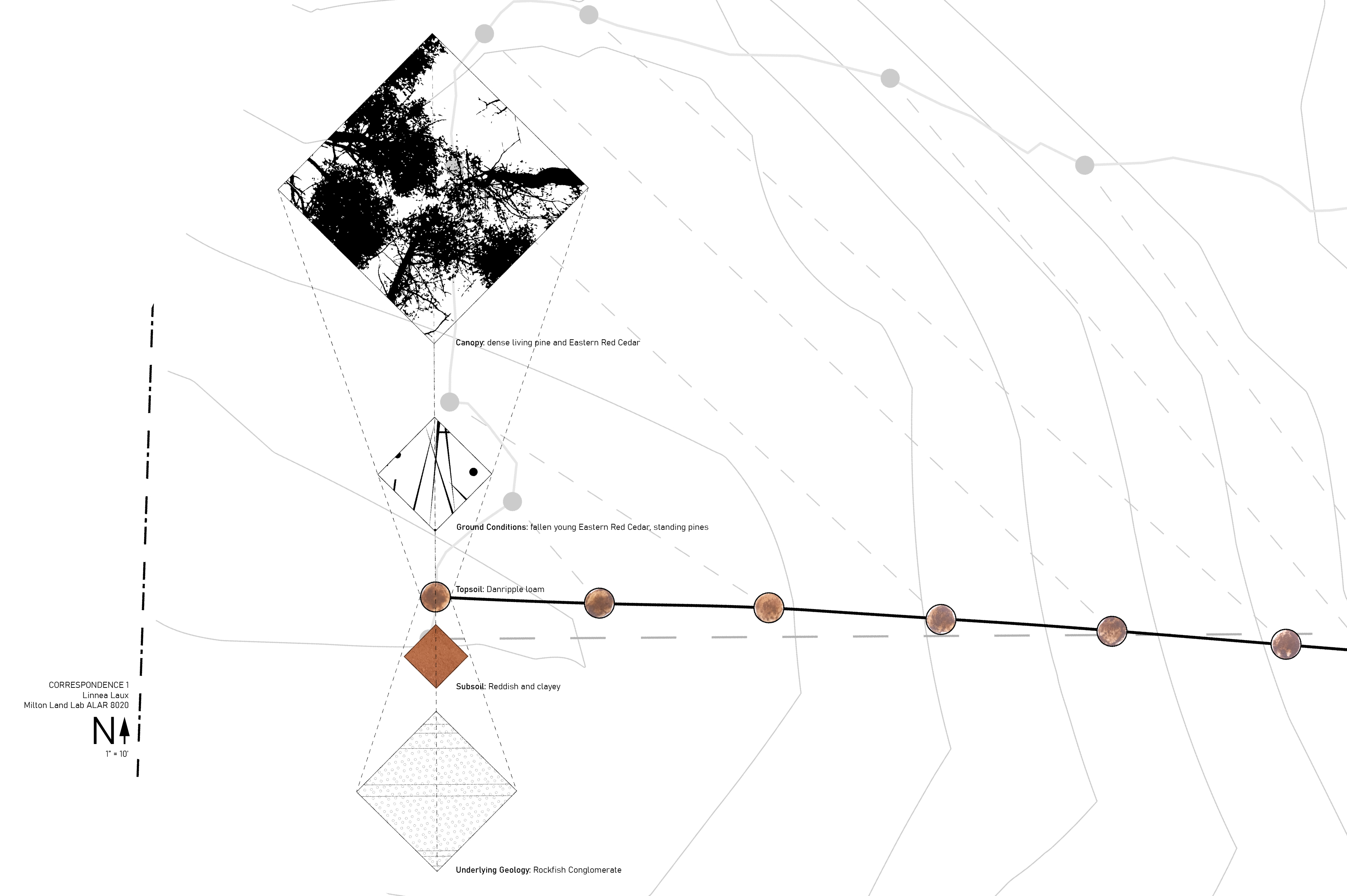
In this transect, there are three basic zones: hilltop, slope, and stream floodplain. I was interested in understanding how the edge of the floodplain is visible when walking in the landscape. I sampled the topsoil every 100ft along my 2000ft walking path, and analyzed photos from specific sampling spots to understand aboveground conditions. I also took samples of subsoil unearthed by the roots of fallen trees. I found that there are differences in soil, plant ecology, ground conditions, and tree spacing, but recent storms have also created entirely new zones. My path is initially crooked because of my effort to avoid a tangle of fallen trees that spans hilltop and slope. It continues in a straight but less-than-easterly direction, partly because of a flawed GPS, but partly because of the disorienting sameness of the stream floodplain. Fallen trees are the most prominent feature on the transect. I was able to gather quick data about the current conditions, but chose to avoid the biggest goldmine of information due to time constraints. I wonder when each of these trees fell, how old they are, and which species. I wonder if they were dead or diseased while standing, or just unable to withstand historic winds. I wonder what species can be found colonizing the center of the largest windfall, where trees fell between 2015 and 2017. I wonder whether my perception that the windfall began with one tree and expanded outwards during several events is correct. My characterization of the site through this transect attempts to vertically interpret specific spots, and therefore misses the horizontal elements, ecotones, and continuous phenomena.
Dina Luo


Katherine Rossi


